
March 12, 2026
Thinking about buying a home at the U.S.–Mexico border? If you live or work on both sides, San Ysidro’s location can be a daily advantage and a smart value play compared to many San Diego neighborhoods. You want clear facts on prices, commuting, schools, and risks so you can buy with confidence. This guide gives you the essentials, plus practical next steps to help you decide if San Ysidro fits your life. Let’s dive in.
San Ysidro sits at the southern edge of the City of San Diego, just north of the Tijuana border and served by I‑5, I‑805, and SR‑905. The San Ysidro Transit Center anchors the area and is the southern terminus of the Blue Line trolley. Regional planners are pursuing improvements around the station through the San Ysidro Mobility Hub concept to make getting around easier and safer, especially for people who walk across the border and use transit on the U.S. side. You can learn more in the SANDAG mobility hub fact sheet.
San Ysidro is a highly binational community where many households speak Spanish and maintain cross‑border ties. Recent analysis highlights income and environmental challenges alongside strong community networks. For a deeper look at demographics and local context, see UCLA’s LPPI brief on San Ysidro’s community assets and needs (LPPI report).
Market snapshots vary by data source and boundary lines, but you can generally expect neighborhood and ZIP‑level medians to fall in the roughly 550,000 to 700,000 dollar range as of late 2025 to early 2026. For example, the Redfin neighborhood page has recently shown a median around the mid‑$600Ks, while Realtor.com’s 92173 dashboard has often displayed medians in the mid‑$500Ks. Because figures shift month to month and methods differ, ask for current MLS comps when you’re ready to write an offer.
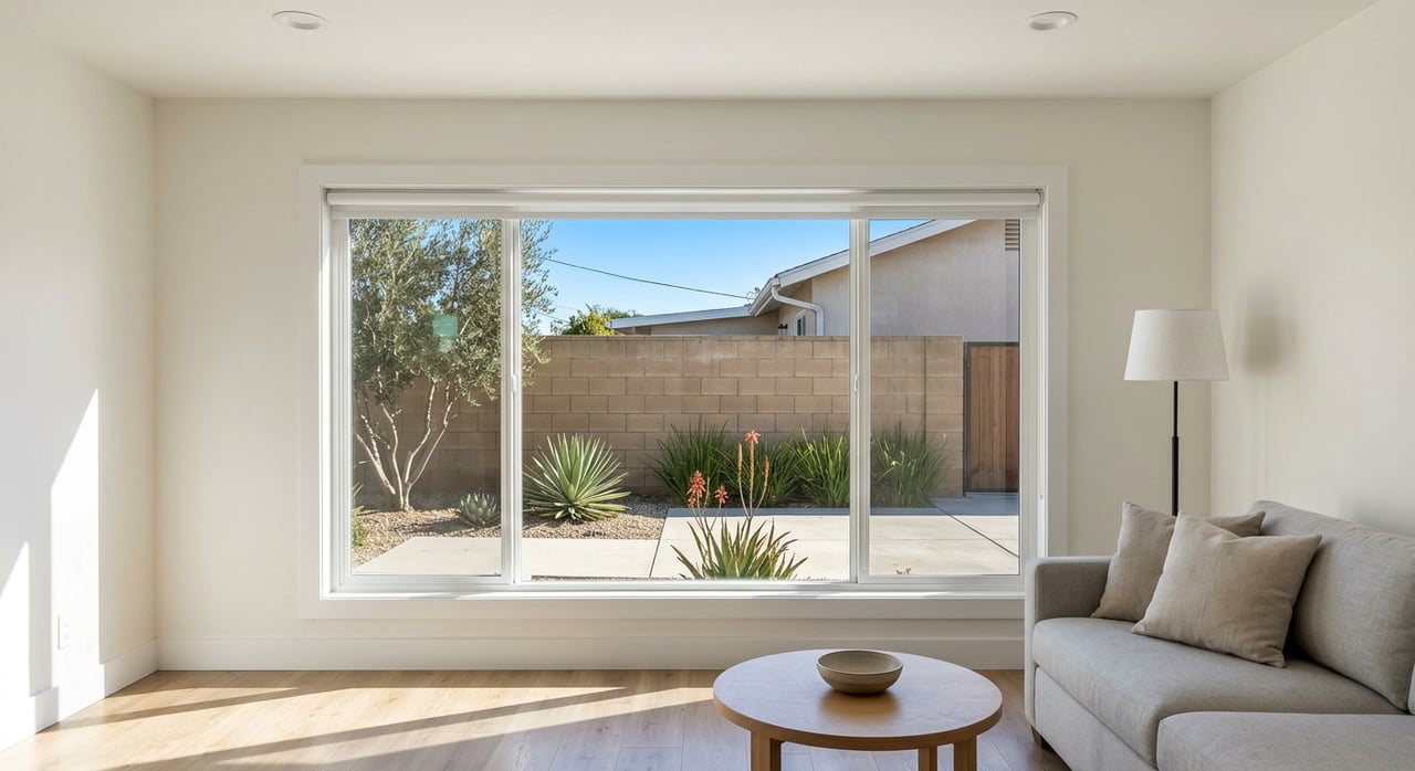
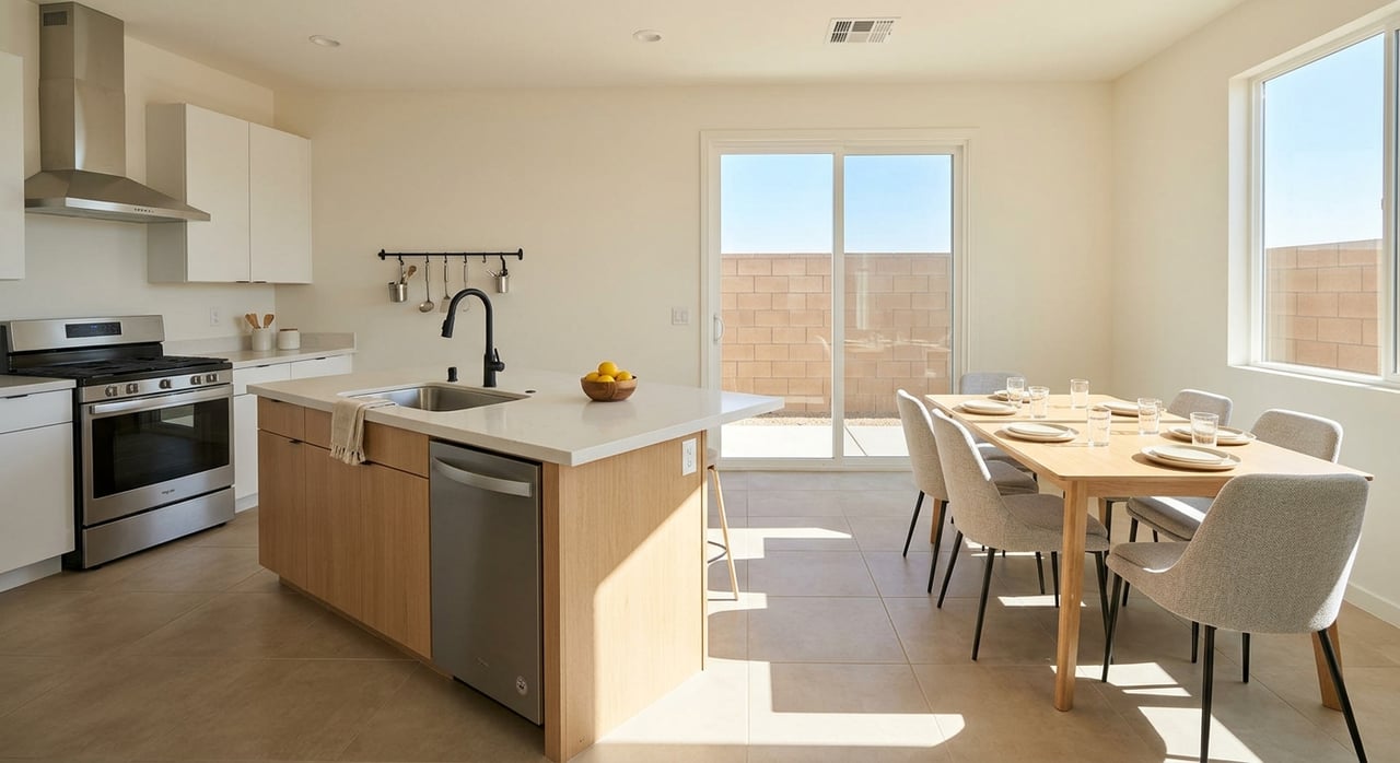
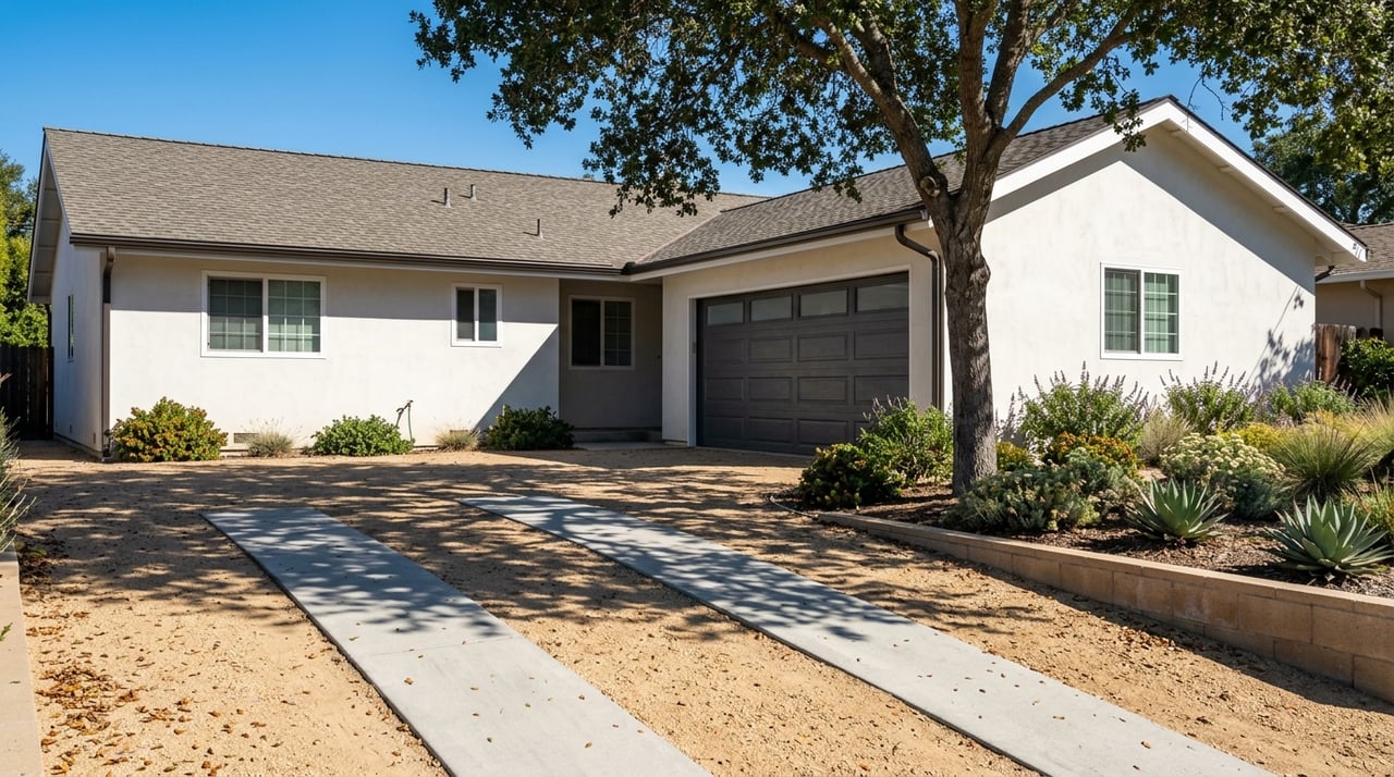
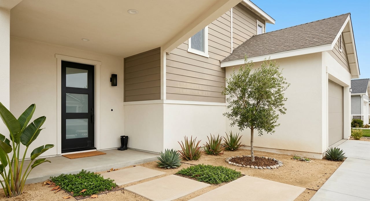
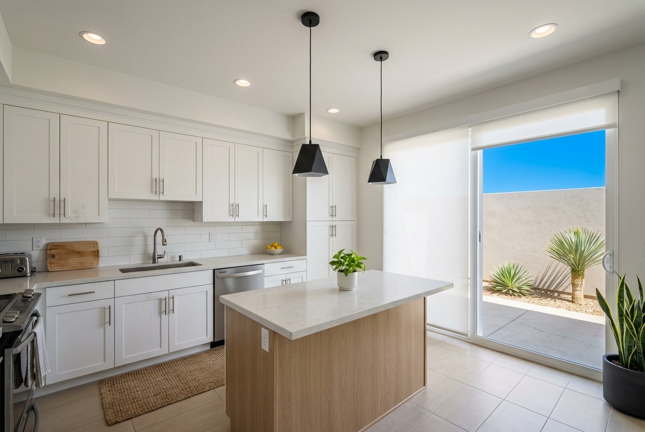
Most listings are small single‑family homes, townhomes, and condos, with a noticeable share of older properties. The area also has many renters, which shapes investor interest and potential turnover. If you’re comparing neighborhoods for a first purchase, San Ysidro can offer relative affordability against central San Diego, with tradeoffs tied to the border location and traffic.
San Ysidro hosts the busiest land port of entry in the country, with millions of vehicle and pedestrian crossings each year. The Bureau of Transportation Statistics consistently ranks San Ysidro at or near the top for personal‑vehicle and pedestrian entries, underscoring the scale of daily movement (BTS border data). SANDAG planning materials note more than 90,000 northbound crossers per day in recent years, which explains the area’s traffic patterns and the importance of smart commuting strategies.
If you commute across the border, your lane and documents matter. Trusted Traveler programs like SENTRI can reduce wait times, and local reporting has covered recent expansions being piloted at San Ysidro (SENTRI lane update). The Blue Line trolley at the San Ysidro Transit Center offers a car‑free option to reach central San Diego and beyond, and the SANDAG mobility hub plan aims to improve walking, biking, and transfers over time.
Public schools for elementary and middle grades are served by the San Ysidro Elementary School District. High school students generally attend schools in the Sweetwater Union High School District. Always verify current programs, boundaries, and school accountability report cards on the San Ysidro Elementary School District site.
For community resources, Casa Familiar is a long‑standing local nonprofit that offers bilingual programs and has led affordable housing and community land trust work. It’s a good starting point to learn about neighborhood initiatives and services (Casa Familiar).
For daily conveniences, you’ll find neighborhood shops along San Ysidro Boulevard and a major retail cluster at Las Americas Premium Outlets near the port. Planned improvements around the transit center are intended to make it easier to reach these amenities without a car.
Because of nearby freeways and port traffic, air and noise exposures can be higher than in other parts of San Diego. Regional research and community efforts, including AB‑617 air‑monitoring work, document these conditions and guide mitigation priorities. To understand the context, review the LPPI community brief, and consider visiting candidate homes at multiple times of day.
Always check parcel‑level climate risks and insurance implications. Some properties show minor flood indicators while others show moderate wildfire risk in broader planning layers. Review FEMA flood maps, seller disclosures, and inspection reports, and use your agent’s MLS tools for hazard details.
Safety varies block by block. For the most accurate picture, review recent incident logs and maps and visit at different hours. You can find local contacts and resources in the San Diego Police Department’s community guide (SDPD community resources).
Finally, keep an eye on major infrastructure projects. Federal modernization of the San Ysidro Land Port of Entry can change vehicle and pedestrian flows over time; review official documents for updates and alternatives (GSA DEIS for San Ysidro LPOE). Regional projects like SR‑11 and Otay Mesa East may also influence overall South Bay traffic patterns as they progress.
When you want a local, bilingual guide who knows South Bay and the realities of cross‑border life, reach out. Hablamos español. Get step‑by‑step support, on‑point comps, and a clear plan from Silvia Vasquez.
Stay up to date on the latest real estate trends.
Buying, selling, or investing—Silvia is here to walk with you every step of the way. Reach out today to experience a level of care, faith, and expertise that turns your real estate goals into lifelong success.
Submit a Message

PO BOX 1701 BONITA CA 91902 Silvia Inez Castro | CA DRE# 01447535